Map your bike rides, and help Bay Area planners!
1 ratings
Your rating:
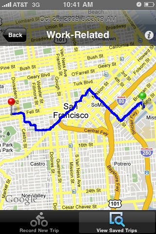
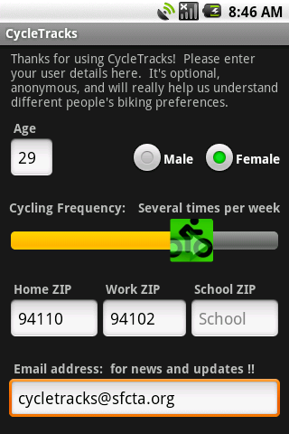
Help Bay Area planners learn where you bike! CycleTracks uses your iPhone or Android GPS to record which streets you use for bicycling. It can display maps and stats of your rides, too. All trips are uploaded (anonymously) to the SF County Transportation Authority, where the data will be used to help plan for the region's bike needs.

Biking
iPhone App, Android App
Free
biking, gps
© 2014 Walk Score
Data provided by GTFS Data Exchange![]()
