Google Maps offers transit directions and transit maps for many cities around the world.
13 ratings
Your rating:
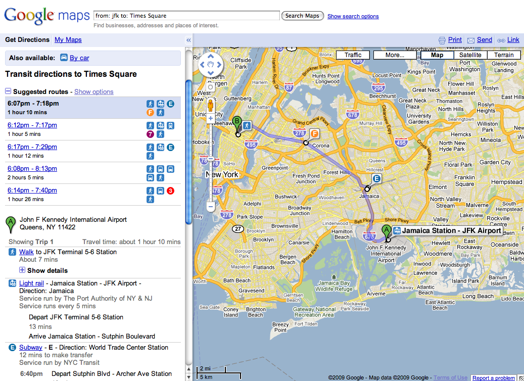
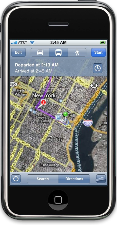
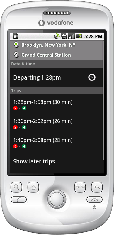
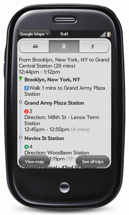
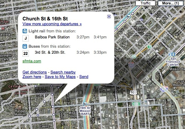
Google Maps makes it easier to figure out how to use public transit in many cities around the world. First, it offers a way to switch between transit, walking, and driving directions for any route with a single click. Second, bus stops and train stations are shown on the map, and clicking them shows the lines serving that stop, and the next few scheduled departures for each line. Third, in many cities, you can turn on a layer showing the entire transit map for that area. Finally, in the details for every business, the closest bus or train stop is shown, along with the lines that serve it. Public transit information is available on every mobile version of Google Maps: iPhone, Android, BlackBerry, Palm WebOS, Windows Mobile, and Symbian Series 60. (Mobile versions available at http://m.google.com/maps )

Public Transit, Walking, Driving
Blackberry App, Palm WebOS App, iPhone App, Website (Desktop/Laptop), Other, Website (Mobile-Optimized), Android App
Free
, Web, Palm WebOS, Blackberry, Android, iPhone
© 2014 Walk Score
Data provided by GTFS Data Exchange![]()
