Public Transit app for major cities of the USA, Canada and Australia.
4 ratings
Your rating:
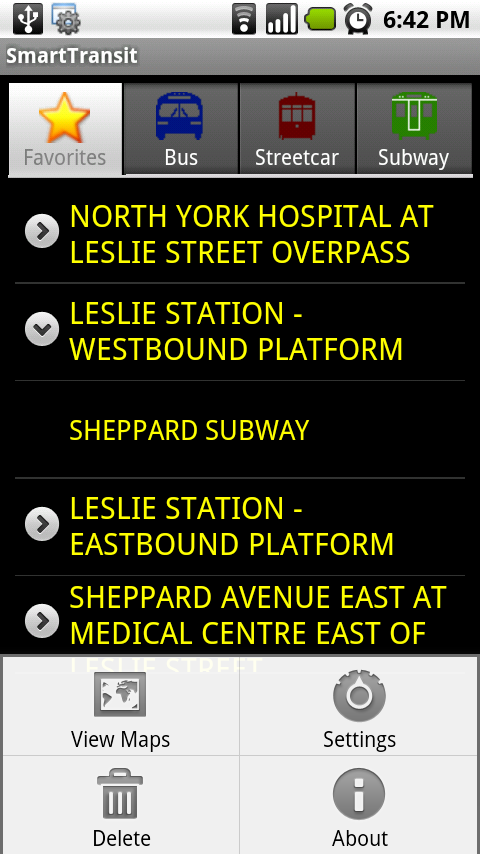
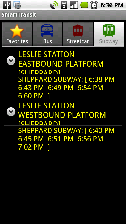
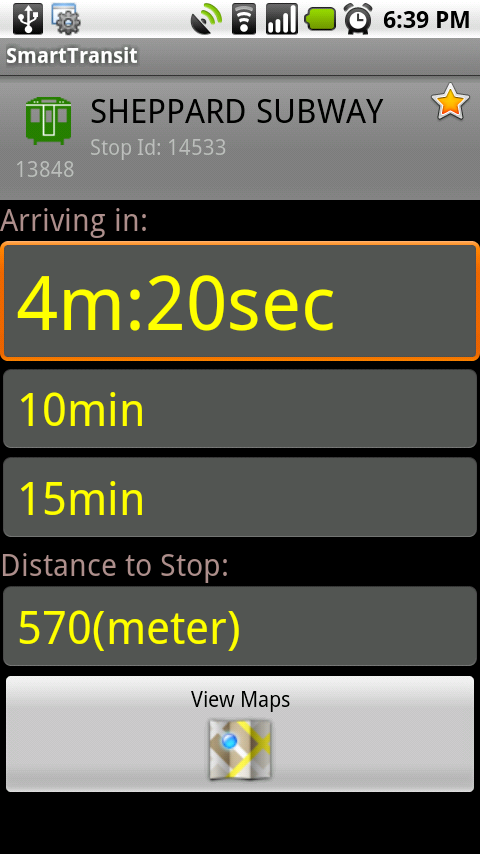
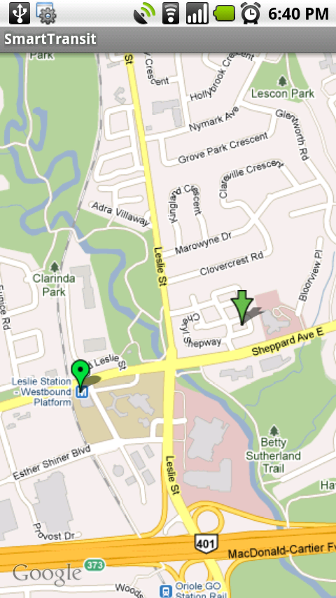
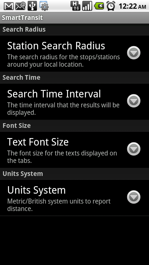
Real-time Public Transit app for major cities of the USA, Canada and Australia. Currently SmartTransit supports the following cities/agencies: United States: 1. New York City, NY (Manhattan, Brooklyn, Queens, Bronx, Staten Island - MTA) 2. Chicago, Illinois (Chicago Transit Authority - CTA) 3. Los Angeles, California (Los Angeles County Metropolitan Transportation Authority) 4. San Francisco, California (SFMTA - Only Buses) 5. Boston, Massachusetts (Massachusetts Bay Transportation Authority - MBTA) 6. Maryland (Maryland Transit Administration - MTA) 7. Philadelphia Counties (Southeastern Pennsylvania Transportation Authority - SEPTA) 8. Seattle, Washington (SoundTransit) 9. Houston, Texas (Metropolitan Transit Authority of Harris County - METRO) 10. Autin, Texas (Capital Metro Transit - CAPMETRO) 11. Milwaukee, Wisconsin (Milwaukee County Transit System - MCTS) 12. Denver, Colorado (Regional Transportation District - RTD) 13. Las Vegas, Nevada (Regional Transportation Commission of Southern Nevada - RTC) Canada: 1. Toronto, Ontario (Toronto Transit Commission - TTC) 2. Ottawa, Ontario (OC Transpo) 3. Vancouver, British Columbia (TRANSLINK) 4. Calgary, Alberta (Calgary Transit) 5. Edmonton, Alberta (Edmonton Transit System - ETS) 6. Winnipeg, Manitoba (Winnipeg Transit) Australia: 1. Adelaide, South Australia (Adelaide Metro) 2. Perth, Western Australia (TransPerth) (more cities coming soon!) The application simply finds all stations/stops around the user location and lists the name of the stations as well as the name of the routes/trips that stop there. once you select a particular item from the list, it will display more details about that item, like the next arrival times, your distance to the stop, your relative location to the stop on the Google maps,... SmartTransit uses open GTFS data to find precise schedules for the Buses and Subways. For the Streetcars it uses the real time NextBus provided data.

Public Transit
Android App
Free
GTFS open data
© 2014 Walk Score
Data provided by GTFS Data Exchange![]()
