Google Maps + Transit route data mashup
1 ratings
Your rating:
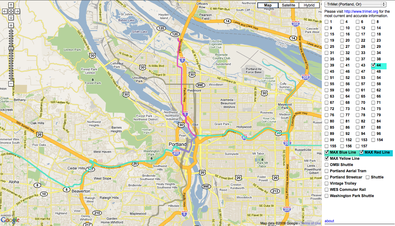
Uses GTFS data to plot individual route lines on top of a Google map. Still in development.

Public Transit
Website (Desktop/Laptop)
Free
, Web
© 2014 Walk Score
Data provided by GTFS Data Exchange![]()
